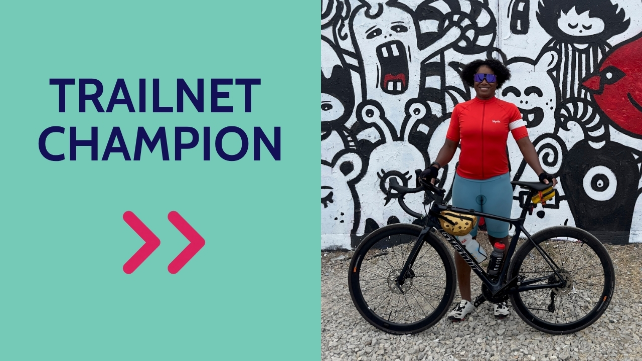
Some of the best partnerships start with a casual conversation. A few years ago at a Trailnet event, Dorris Scott struck up a chat with Charles Bryson, then Trailnet’s Policy Catalyst. He’d seen on her LinkedIn profile that she had a background in Geographic Information Systems (GIS), and he figured there was a good collaboration waiting to happen.
He was right. “Three years later, we’re still going strong!” Dorris says.
Dorris is the Academic Director of Data Studies at WashU Continuing & Professional Studies (CAPS), where she develops programs and courses in data studies and GIS. She holds a PhD in Geography, with research focused on GIS, public health, and community geography. Her dissertation looked at how mapping apps could be tailored to the needs of women veterans and the organizations that serve them. Today she gives her students the same kind of hands-on, community-centered experience. Through her partnership with Trailnet, students in the CAPS GIS and Data Analytics certificate programs apply what they learn in the classroom to real questions about how people walk, bike, and get around St. Louis.
Learning that fits real life
Dorris points out that most experiential learning programs are built for the typical college student, and CAPS students aren’t typical. “CAPS students are modern learners, which means many of them work full time and are juggling other responsibilities,” she explains. Their classes meet in the evening, so Trailnet staff meet them there, joining Zoom classes and evening check-ins to help provide guidance for their projects.
The payoff goes beyond a grade. “Students also learn more about their community as a result and become vested in the mission of Trailnet,” Dorris says. Some keep sharing their work long after the semester ends, presenting at venues ranging from a St. Louis Board of Aldermen meeting, to the Geosaurus Unleashed event at T-REX.
The students add a new layer to Trailnet’s work. “GIS is all about layering various information to gather insights,” Dorris says. “I hope this layer of information that the students provide can provide unique insights on the issues that Trailnet is focusing on.”
Ground truth, from the saddle
Dorris has ridden a bike on and off for most of her life, but she’s ridden most consistently since moving to St. Louis. She loves the way it changes how she sees the City. “Riding gives you a different perspective that you might miss when driving your car,” she says.
That perspective feeds straight back into her work. In GIS there’s a concept called “ground truth”: checking data by observing it directly. “When facilitating these students’ projects with Trailnet, I can add some additional insights through my experiences riding around St. Louis on my bike,” Dorris says. Every ride becomes a bit of fieldwork.
Her favorite Trailnet Classic ride is the Giro Della Lou, held during the Gateway Cup, which she calls “the best time of the year.” After the ride, you’ll usually find her sticking around to watch the races.
From transplant to champion
Like many St. Louisans, Dorris found Trailnet as a newcomer. When she didn’t know much about the City, someone suggested she join a Trailnet Community Ride to get to know it better. Two years after moving here, she became a member.
“I like Trailnet, for it gives transplants like me the opportunity to learn about the history and culture of St. Louis,” she says.
Dorris came to Trailnet, and learned more about St. Louis. Now she and her students are helping all of us see it more clearly, one map layer at a time. Thank you, Dorris, for being a Trailnet Champion!