
Planning
We show people what better streets look and feel like. City officials and community members we help them create plans for streets that reflect best practices for encouraging safe connections for biking and walking.
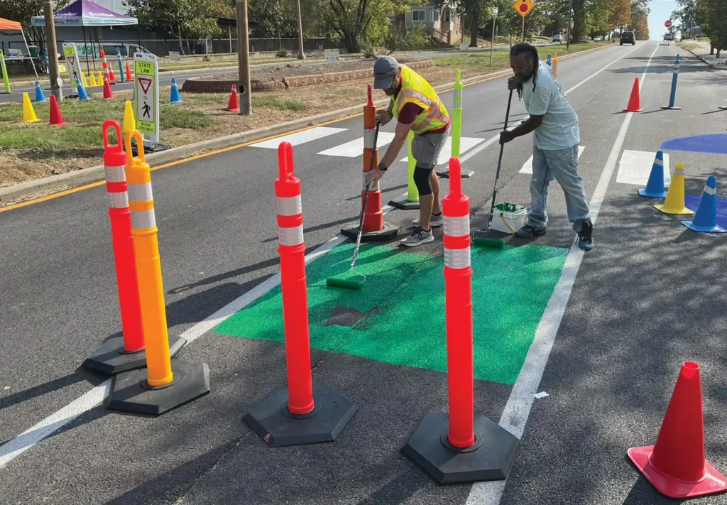
Current ProjectsWe Help Communities Envision Better Streets
- Leading technical assistance services to help create plans for safer connections for biking and walking. We have worked in over 35 regional communities to create bicycle and pedestrian master plans.
- Providing input and guidances on how to best engage the community on projects to ensure all ages and abilities are represented
- Developing relationships and partnerships with key decision makers and community members to establish champions within the community
- Being innovators and thinking outside of the box to find solutions that the community supports
- Supporting organizations and agencies within the region and state by working together to share insights on how to create bicycle and pedestrian friendly communities
Hire Us to bring your safe street vision to life!
You can hire Trailnet to provide technical assistance to help your community turn dreams into action. We help government agencies, municipalities, special business districts, other non-profits, and other organizations conduct community engagement, pop-up demonstrations, and create mobility and traffic calming plans for safer streets.

Planning Campaigns
Current Projects
Trailnet is working every day to address barriers to core transportation (walking, biking, and transit) in our community.